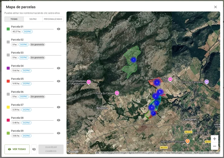
Farmlog allows you to draw custom parcels over SIGPAC enclosures. You can define a crop zone, subdivide an area or work with a group of enclosures while maintaining their official correspondence.
The map shows the relationship between the working parcel and its SIGPAC bases. Before recording or reporting an activity, check the boundaries, areas and associated crop.
The functional inventory includes the translation of these parcels for the official logbook and their registration in the autonomous community system. The working delimitation does not by itself modify the official register, nor does it replace a SIGPAC correction procedure. Check the reporting result as with all other activities.